Natura 2000 zone

The Curnic marsh

A natural landscape shaped by man

Between the Pays Pagan and the cliffs of the Léon plateau, the Curnic marsh is one of the many agricultural areas reclaimed by man from the marine environment in the 19th century.
With the construction of a dike, the marine expanses were transformed into a polder, an artificial expanse of land reclaimed from the water.

Fields and pastures have gradually taken over, leaving the natural vegetation to take over.

The hiking idea

What better way to discover the natural riches of the Curnic than on a hike?
Take the Milin ar Raden ("old mill" in French) trail, which takes you around the listed site, past dunes, ponds and reed beds, and upwards to observe the mosaic of ecosystems before you!

Between fresh and salt water

In the heart of this marsh, water is omnipresent, nutrients abundant and light constant. This combination gives the plants such vitality that the water surfaces are gradually invaded by reed beds. Fresh and salt water mix in the Curnic through the flows of the Alanan stream and canals. At high tide, the sea creeps in through the rubble stones of the dike.

The first dike was built in 1833, between the Dibennou and Beg ar Skeiz points. It was a failure, toppled in the first winter by a heavy storm. Its ruins remain to this day, looming up at low tide, barring the landscape with a dark line. A new reservoir was built the following year, in 1834, further back from the previous layout, giving rise to today's polder and the pond bordering today's dike. Coastal agriculture, a mix of hay meadows, pastures and crops, shaped the landscape until the 1970s.

Drosera

A varied flora

The Curnic site boasts a wide variety of habitats spread over a small area. The marsh is home to a wide variety of species and vegetation. Orchids are particularly well represented, with no fewer than 11 species recorded, including two rare and endangered species: the green-flowered Liparis de Lœsel and the light purple Orchis spachetée. They can sometimes be found side by side at a distance of less than two meters, which is unique in Brittany!

But one of the stars of the marsh is the drosera, a pretty insectivorous plant nicknamed "dew grass".

An abundance of wildlife

Animal diversity is also considerable in this wetland, where aquatic, amphibious and terrestrial species live side by side. Numerous insects can be observed here, including dragonflies, of which there are 17 species at Curnic. From May to June, the Damier de la succise, a pretty butterfly in brown and orange, flies from moorland to wet meadow.

How much?

More than 150 species of birds are counted every year on the Curnic site, one of the few reed marshes on Brittany's northern coast.

You'll never see the same landscape

Year-round discoveries!

In spring, birds and reeds create a gentle symphony.

In summer, the ponds of the foreshore offer a glimpse of life forms that seem to have come from elsewhere. It's also the time of year when migratory birds fly to Africa.

In autumn and winter, the reedbeds take on a golden hue, and birds can be seen on the beaches by the water's edge.

A flight of herons
Nicolas Loncle on a nature outing

A protected area

The Curnic marsh and pond are classified as part of the Natura 2000 network. The Natura 2000 network is a group of European sites, identified for the rarity of animal or plant species and their natural habitats, with the aim of preserving them. 20 years ago, specialists quickly identified the natural wealth of Guissény and, in collaboration with local stakeholders, worked on preservation solutions. A list of objectives was drawn up, with precise results expected.

Nicolas Loncle, who is in charge of natural areas, takes action on a daily basis to meet the objectives set by specialists. The species to be protected are dependent on agro-pastoral practices, a combination of animal husbandry and agriculture that limits the impact of climatic hazards such as wind and rain. Nicolas works closely with farmers and local pasture owners to keep the site in harmony.

A nature reserve?

At the end of 2021, following a year-long call for expressions of interest, the Regional Council of Brittany selected the Guissény site for classification as a Regional Nature Reserve - Remarkable Area of Brittany (RNR-ERB). In 2022-2023, the commune, with the support of the Brittany Regional Council, will initiate the process of classification as a regional nature reserve, in order to put this selection into practice.

Let's discover!

To discover the site, you can take a walk along the signposted trail, which is freely accessible and equipped with interpretation posts.
Throughout the year, numerous events and nature work camps are also organized to explain all about the fauna and flora of the area!

How do I get there?

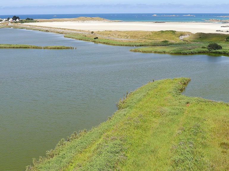
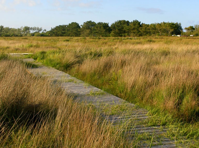
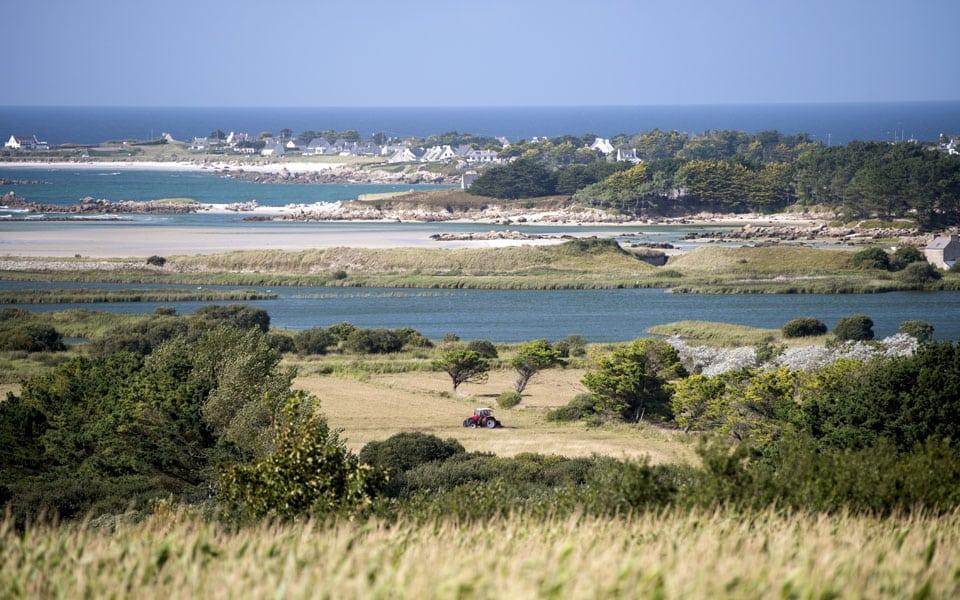
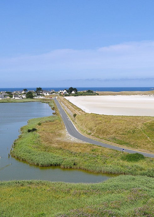
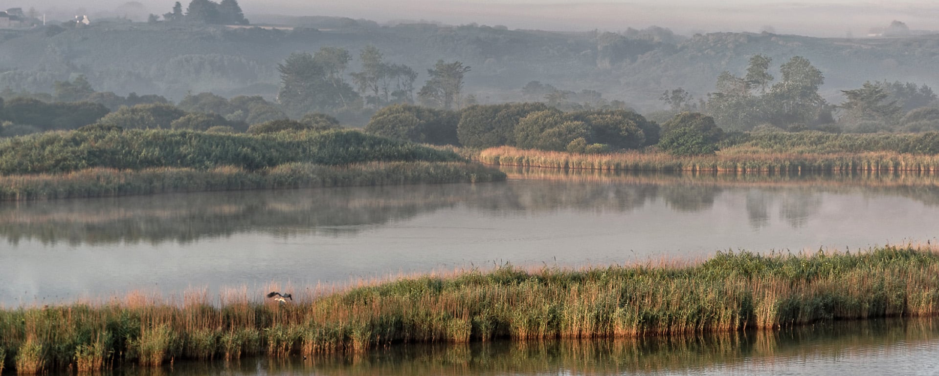
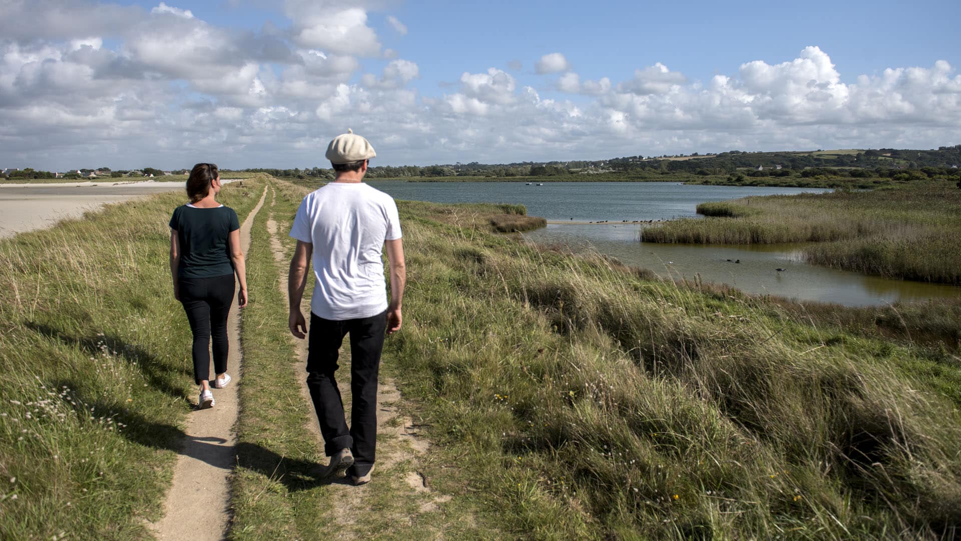
The marsh and pond are located in the commune of Guissény, north-west of the Côte des Légendes.

Getting there with Google Maps